This wonderful, 33 megapixel, zoomable marvel is known as the Turgot Map of Paris, and it’s a remarkable document in all sorts of ways. I like to imagine that were you to be offered the chance to drift above Paris in a hot air balloon in the 1730s (disregarding the fact that this was impossible, the Montgolfier brothers being still but a twinkle in their parents eyes) the scene before you would look very like this. Or maybe it’s more like what it would be like to be some all-powerful God, with the world laid at your feet and called to attention for your inspection. The map was commissioned Michel-Étienne Turgot, then prévôt des marchands de Paris (roughly equivalent to the city’s mayor) and created by Louis Bretez. And Turgot certainly got his money’s worth. The completed map was huge, filling 21 sheets and reproducing the city in incredible detail. I recommend you switch the widget to fullscreen mode, scroll and zoom around, and get lost inside it for a while. The map strikes us as odd in several respects. Firstly, it’s oriented very differently from any map of Paris we’re used to, with the viewer facing east. Then there’s the birdseye perspective, technically known as perspective cavaliere, this means that buildings of the same size are shown at the same size on the map, no matter how far away they are. Then there’s the fact that what we see is recognisably Paris, but not Paris as we know it. It’s a stark reminder of the scope and scale of the changes made to Paris under Haussmann and Napoleon III, which have changed so fundamentally the essence of the city. Mostly though, it’s the sheer detail of the thing that startles- enough to give you the slightly eerie sense that you’re looking at a city captured in some crystaline lava flow, and preserved for all time. Turgot set out to record the city as it was, without a window or a leaf out of place, and on one level he succeeded admirably. During his two years drafting the map, he was granted extraordinary access to the city, even being allowed inside the aristocratic hôtels, normally cut-off from public view by their fortress-like walls. As a result, the map is full of vivid and authentic detail, and examining it is as addictive as Where’s Wally (Waldo). There are views of sights such as the Louvre, then flanked by the Tuileries Palace, surrounded by a hodgepodge of medieval housing, and forming the western boundary of developed Paris, with nothing beyond but trees subjected to ever-decreasing levels of manicure, and then waves of green fields. Montmartre is still nothing more than a village, its windmills still real and none rouge. The massive, unforgiving Bastille dominates its neighbourhood. Individual boats are depicted on a river teeming with activity. And there’s a reminder that Haussmann was not the only man who ever dreamed of reshaping Paris – already Henry IV’s Place Royale and Louis XIV’s Place Vendôme stand out from the muddle of streets that surround them – harbingers of the orderly, picture-perfect Paris of the future. Perhaps the reason the map feels slightly disconcerting is because of what’s not there. There’s so much detail and reality in the buildings, and yet slicing through them are clean, white roads. Not only do these streets seem in many places far wider, straighter and clearer than they almost certainly were in real life, there’s also something lifeless and sterile about them. The streets of Paris in the 1730s were many things, but clean was not one of them. Turgot clearly had a political purpose in commissioning the map, and aimed to show Paris as a modern, well-governed, well-maintained city under the control of the authorities. Even the very act of completing such an extraordinary work was testament to the resources available to the city’s elite. Consequently, the Pont Neuf is recorded in exacting architectural detail, but we get no sense of the raucous street life that thrived there. Eagle eyes can spot the Cimetière des Innocents near Les Halles in the centre of the city, but there’s nothing to suggest the supreme squalor of the place, the ground so full of corpses that they frequently burst out into the cellars of nearby buildings. And only when you look at the banks of the Seine, with the streaks of mud that intrude onto the clean white paper of the riverside, do you get a hint of the dirt and filth, the all-pervading brown that would have been the colour of Paris, and the stench that would have ruined that anachronistic balloon ride. The map is at once a tantalising and rare glimpse of a lost Paris at a precise moment in its history, and a fantasy – a Paris that never, quite, was. Incidentally, you can buy huge reproductions of this map in the UK here and in the US here. Oh how I lust after these! And if big, zoomable, historical maps are your bag, you might just explode with happiness if you visit the BIG Map Blog.
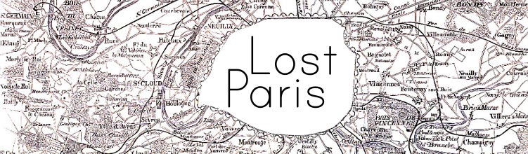
Lost Paris: A snapshot of 1730s Paris